

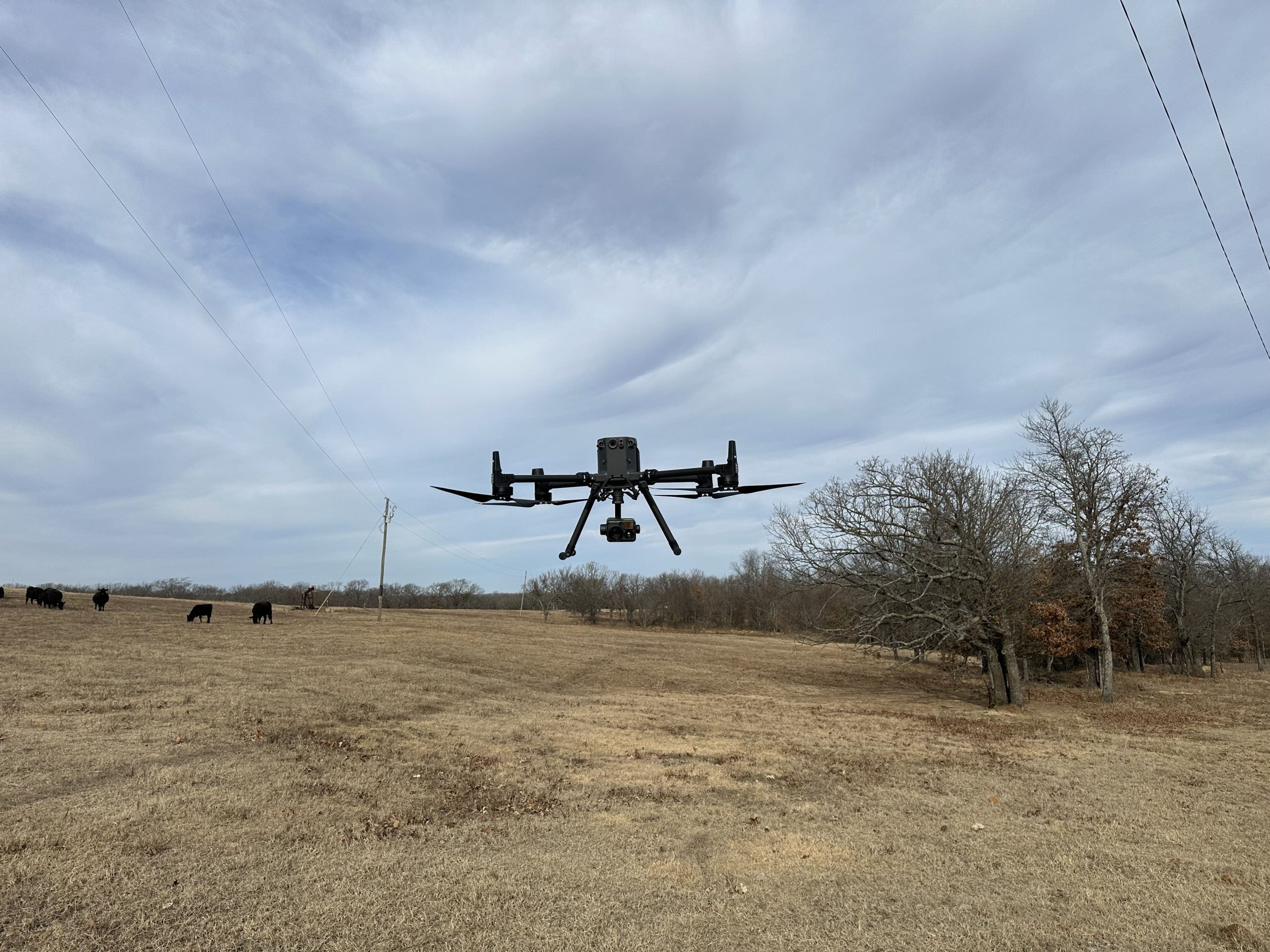
MinMax has announced the launch of native drone inspection support in its MinMax eSMART asset management platform, marking a significant advancement in how utilities capture, manage, and act on field inspection data. The new capability embeds aerial inspections directly into MinMax eSMART, integrating them seamlessly into standard inspection workflows.
With this enhancement, utilities can automatically connect drone-captured images and data to the correct assets—eliminating manual handoffs and reducing the risk of error. Drone photos containing GPS metadata are ingested into MinMax eSMART and associated with the appropriate equipment, enabling inspection records and work orders to be generated and shared across departments with minimal effort.
The platform also supports the ingestion of thermal imagery, when available, allowing teams to identify hotspots and emerging risks earlier in the asset lifecycle. The result is faster inspections, stronger documentation, and truly actionable intelligence—achieved while flying each asset only once.
This release reinforces MinMax’s ongoing commitment to improving operational efficiency, data accuracy, and decision-making for electric utilities by transforming how inspection data flows from the field into enterprise asset management.
For more information or to view a demonstration of the drone inspection module, please email info@minmaxtech.com.
Originally published on minmaxtech.com.